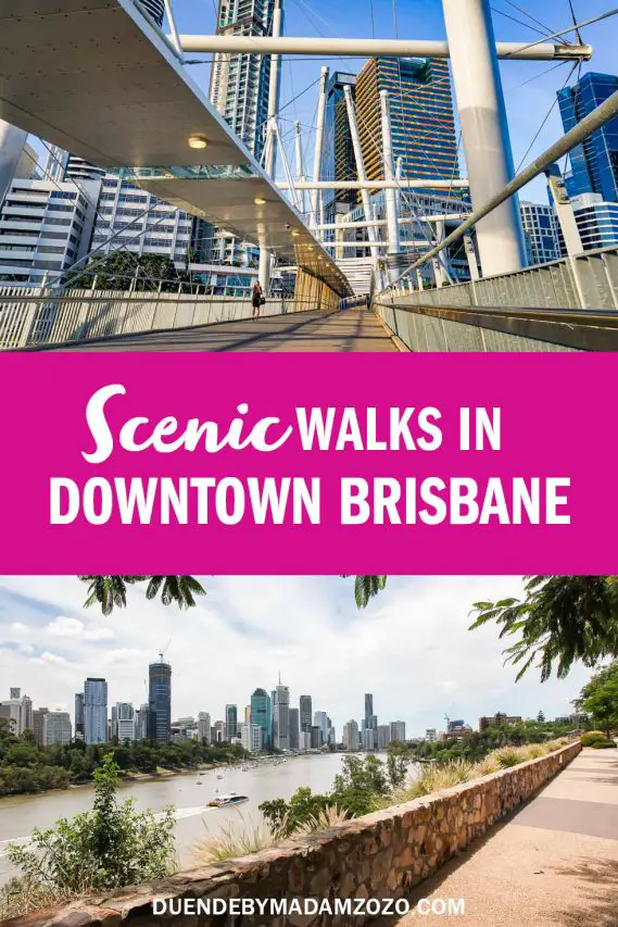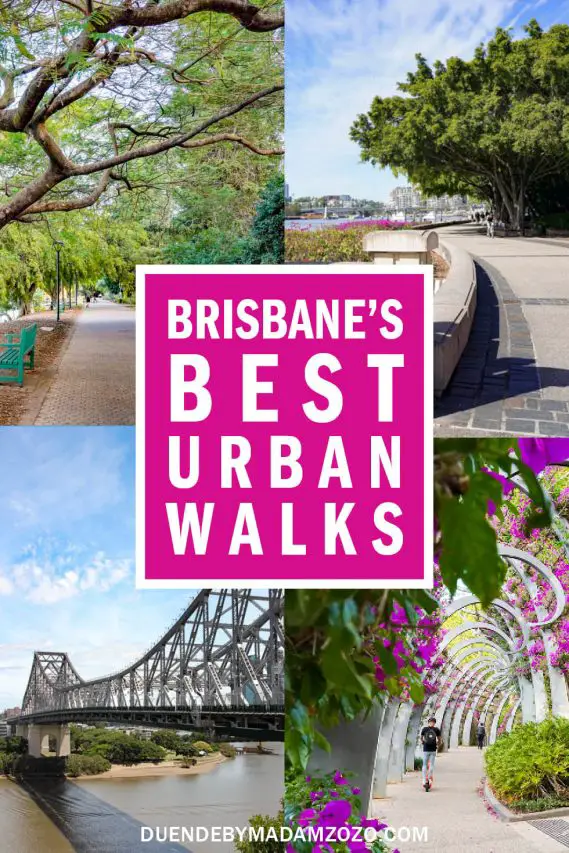
Trying to maintain 10,000 steps a day? Need to stretch your legs or clear your head? Maybe you want to take more advantage of Brisbane’s outdoor-friendly lifestyle. Here are some scenic, round-trip walks in Brisbane that will help you hit that 10K goal with ease. This is exercise with a view!
I did a lot of walking during the pandemic. A LOT. And of all the places in the world I could have been locked down, I’m so grateful it was beautiful Brisbane where I landed. After having grown up in the Brisbane area and spent many years away, it gave me time to really reconnect and explore the River City as it is today. After countless kilometres and the tread of several pairs of walking shoes, here are my favourite round-trip walks in Brisbane.
Note: Ten-thousand steps is roughly 8-km (5-mi), with slight variations for different stride lengths. All these beautiful walks around Brisbane are circuits, so the suggested starting points are just that—suggestions. You can start anywhere along the loop that is most convenient for you.
Disclosure: I may earn compensation from the purchase of any product or service linked on this website, at no extra cost to you. I only link to products I use and love, therefore feel comfortable recommending.
Round trip walks in Brisbane
Kangaroo Point – Clifftop Loop (6km, 1hr 20min)
Start your walk around Brisbane at The Cliffs Boardwalk near the Maritime Museum (South Bank end of the Goodwill Bridge). When you near the Captain Cook Bridge, take the steps to the top of Kangaroo Point Cliffs, where you’ll want to pause for stunning city views.
Follow the clifftop walking trail towards the Story Bridge. Cross the Bridge and take the short walking trail linking to Ivory Lane. Descend to the City Reach Boardwalk, following it to Brisbane Botanic Gardens, where the Bunya Walk continues along the riverbanks. Cross the Goodwill Bridge to complete the circuit.
New Farm – Teneriffe Circuit (7km, 1hr 30min)
Start at Wilson Outlook Reserve on Bowen Terrace, enjoying views of Story Bridge. Cut across Kent Street to Teneriffe Ferry Terminal. Follow the river past Brisbane Powerhouse and check out the public art at the power station-turned live entertainment venue.
Continue along the shores of the Brisbane River via Merthyr Park. Turn inland at Sydney Street Ferry Terminal, walk a long block along Griffith Street, then rejoin the river at New Farm City Walk. Nearing the Story Bridge, turn back up Bowen Terrace to close the loop and complete your walking circuit.


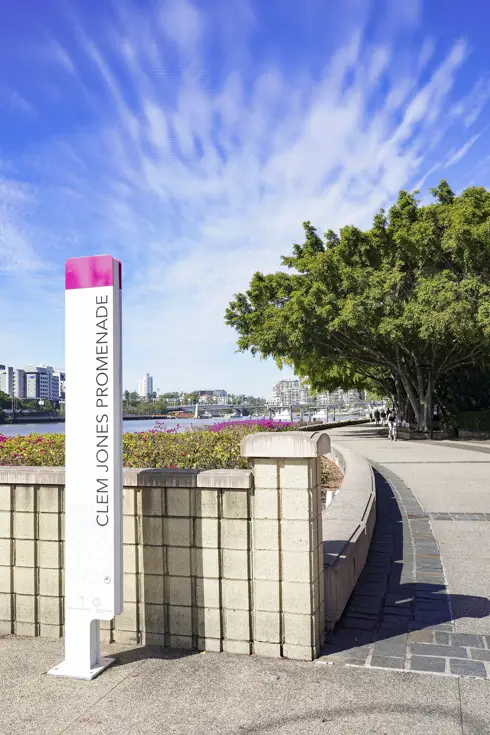
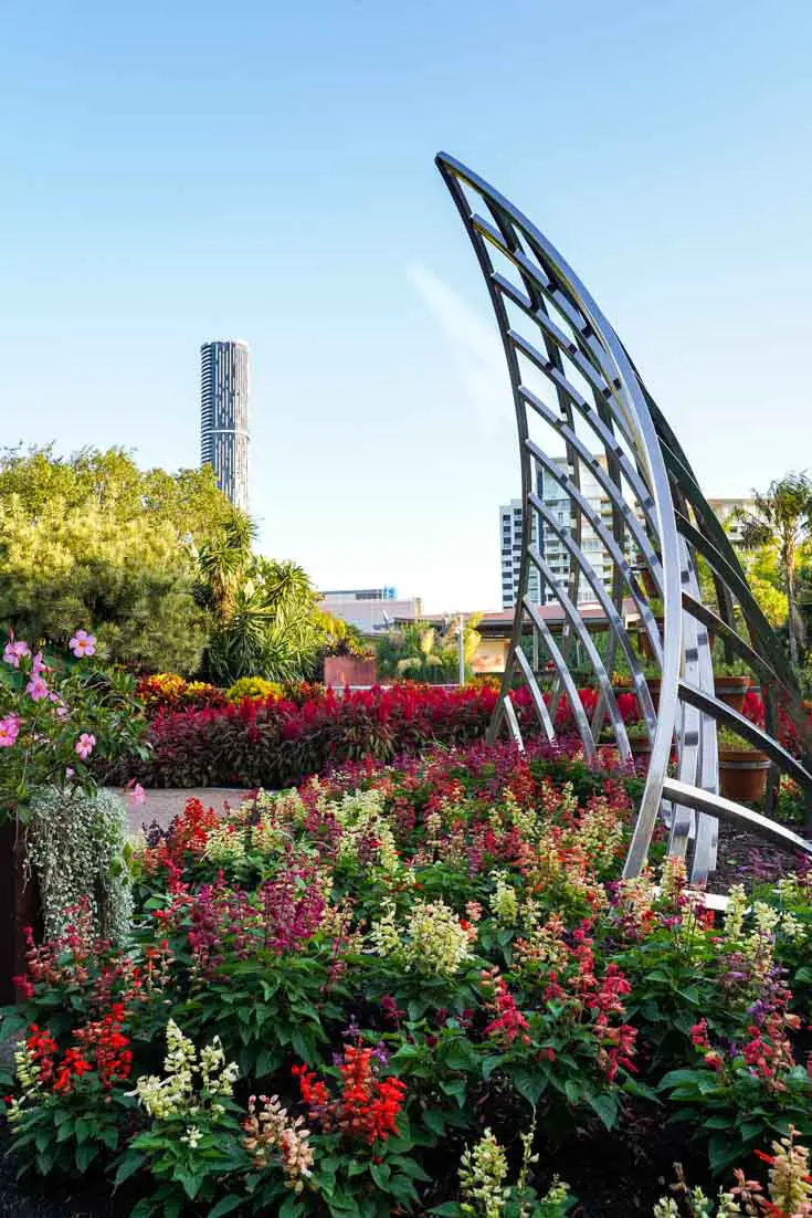
John Oxley River Loop, St Lucia (4km, 50min)
This brief loop is great for days when you’re short on time. Begin at Toowong Rowing Club and follow the John Oxley River Walk signs around UQ’s scenic St Lucia campus.
This Brisbane walk is especially beautiful during Jacaranda season (October), when the purple flowering are blooming. Follow Sir William McGregor Drive around the riverbend, crossing the campus at Emmanuel College.
South Bank – West End Circuit (7km, 1hr 35min)
Begin at Victoria Bridge and head towards Queensland Art Gallery (QAG) and Gallery of Modern Art (GOMA)–collectively abbreviated to QAGOMA. Follow the trails along the southern banks of the Brisbane River to West End Ferry Terminal. This route is great for people-watching in the mornings and evenings.
At the terminal, turn up Hoogley Street, curving into Ganges Street. Veer onto Dornoch Terrace, then cross Boundary Street via a pedestrian path. Follow Boundary Street through West End and stop at a café (because we walk to eat, right?!) or coffee shop—there’s plenty of good ones to choose from. Turn right at Russell Street to return to South Bank.
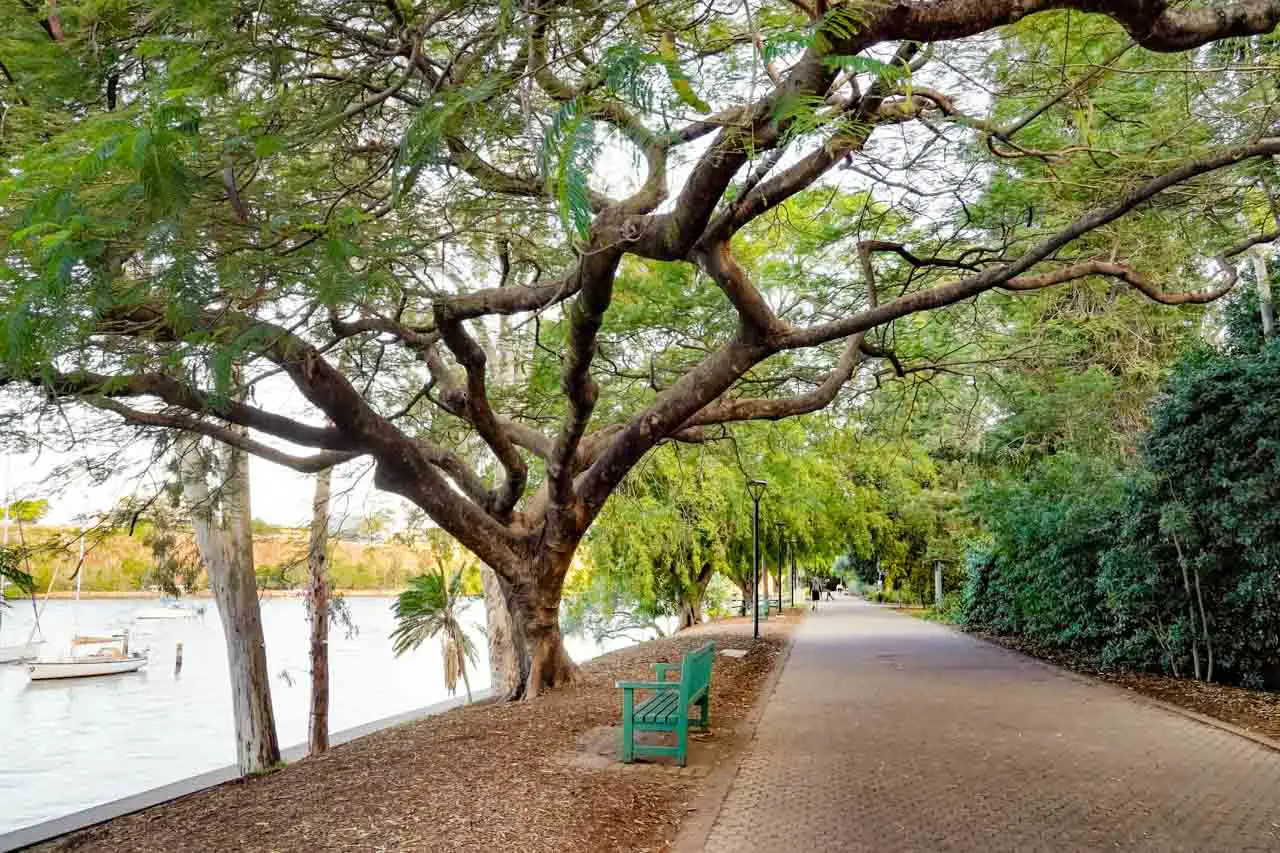
Mt Coot-tha Summit Circuit (5km, 1hr)
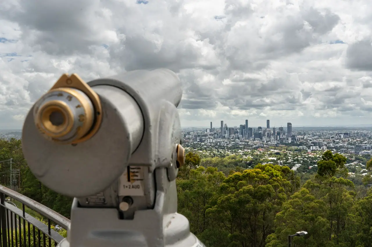
Just 12-mins outside of the CBD, Mt Coot-tha hosts a plethora of bushy walking trails that are super accessible for inner-city dwellers. One of the longer walks takes you from the JC Slaughter Falls picnic area to the peak of Mount Coot-tha on the Summit Trail. This is one of the best uphill walks in Brisbane to really get your heart pumping. The Summit Trail is one way and stops just short of the Lookout. You’ll want to allow yourself a little extra time to make the last 50-metre walk to the Summit Lookout proper and take in the view.
On a clear day you’ll see as far as Moreton Bay, Main Range and Flinders Peak. Maybe even stop for a drink at the kiosk before making your return journey on the Mahogany Trail. There aren’t any signs marking the Mahogany Trail as such, however there is a signboard with a trail map to help you figure it out. The Mt Coot-tha Summit Trail is heavily trafficked on weekends, but it’s a nice wide walking path with room for everyone.
South Brisbane – Roma Street Parklands Loop (5km, 1hr)
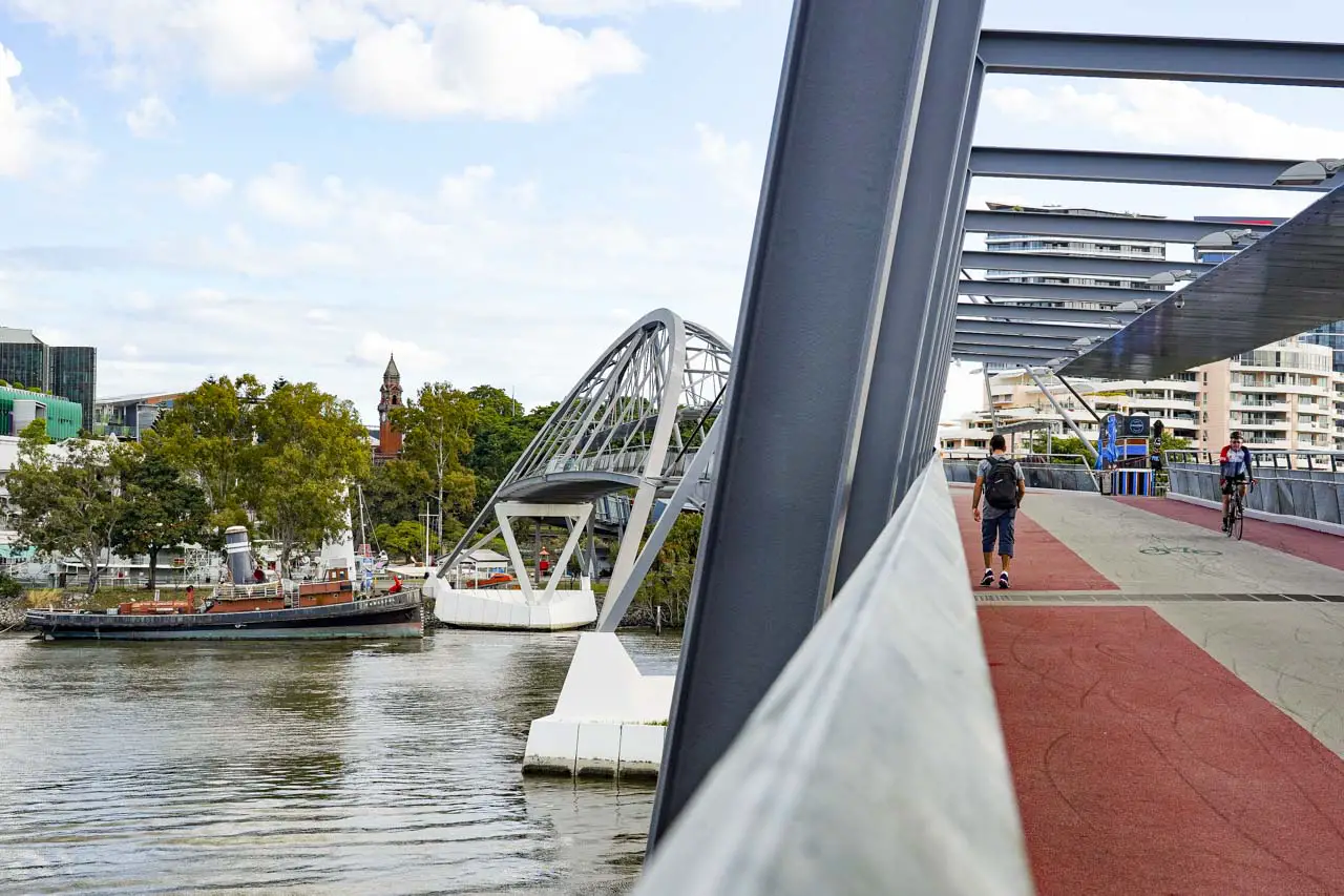
Departing South Brisbane, near the Gallery of Modern Art, cross the River using Go-Between Bridge. Fun fact: the bridge is named after the 1970s Brisbane band, The Go-Betweens. Tread the Bicentennial Bikeway (don’t worry, it’s for pedestrians too) until you reach the sign for Roma Street Parklands. Follow the signs to Makerston St and walk through the Roma St Station subway to the Parklands.
Take a long loop around the Parklands. You can easily add some steps by zig-zagging your way through all the inspiring themed gardens including my personal favourite, the Spectacle Garden at Colin Campbell Place. Return via Albert Street and double back into Roma St at the intersection. Use Tank St to access the Kurilpa Bridge to return to South Brisbane.

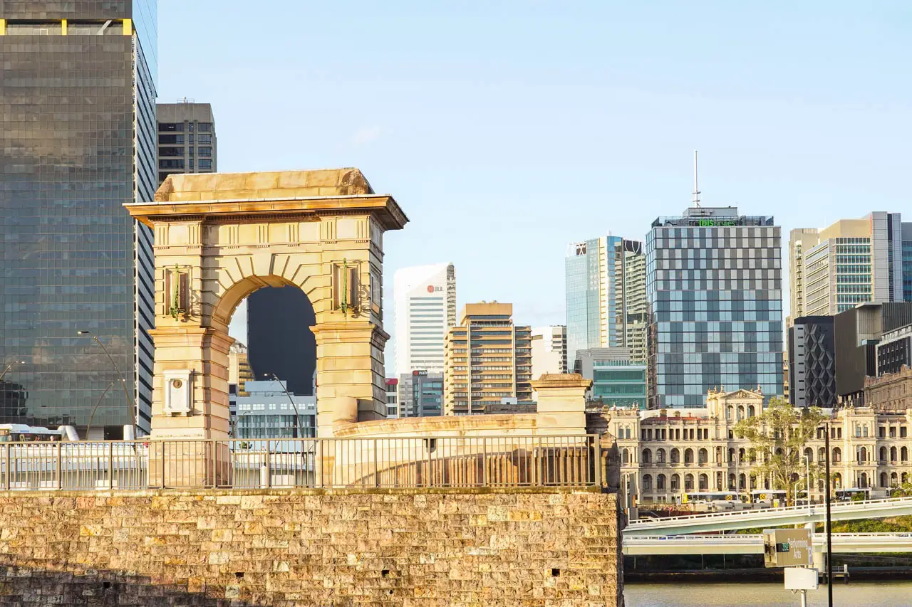

South Bank – Bicentennial Bikeway (6km, 1hr 10min)
Cross Goodwill Bridge from South Bank to Brisbane Botanic Gardens. Follow the Bicentennial Bikeway around to Go-Between Bridge. Along the way you’ll enjoy various public art installations and photo ops. Cross the Bridge and turn left, walking past QAGOMA and the State Library.
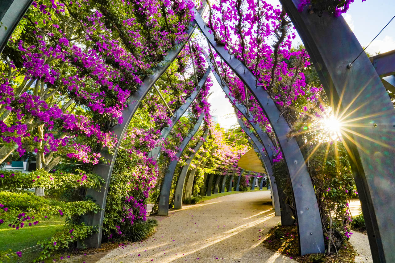
Finish by strolling through the Insta-worthy Arbour, a tunnel of magenta bougainvilleas, back to the Goodwill Bridge. If you are doing this walk in the evening, you’ll find the Moreton Bay Figs on the Queensland University of Technology (QUT) side of Goodwill Bridge, are enchantingly illuminated with fairy lights and are a popular setting for photos.
Scenic walks in Brisbane map
This Google Map includes all but the Mt Coot-tha trails mention, as the Mountain walking tracks have not yet been added to Google. Never fear, you can find a copy of the Mt Coot-tha Forest Track Map here.
What’s the best walk around Brisbane? Share your fav urban trails with us in the comments.
Peace, love & inspiring travel,
Madam ZoZo